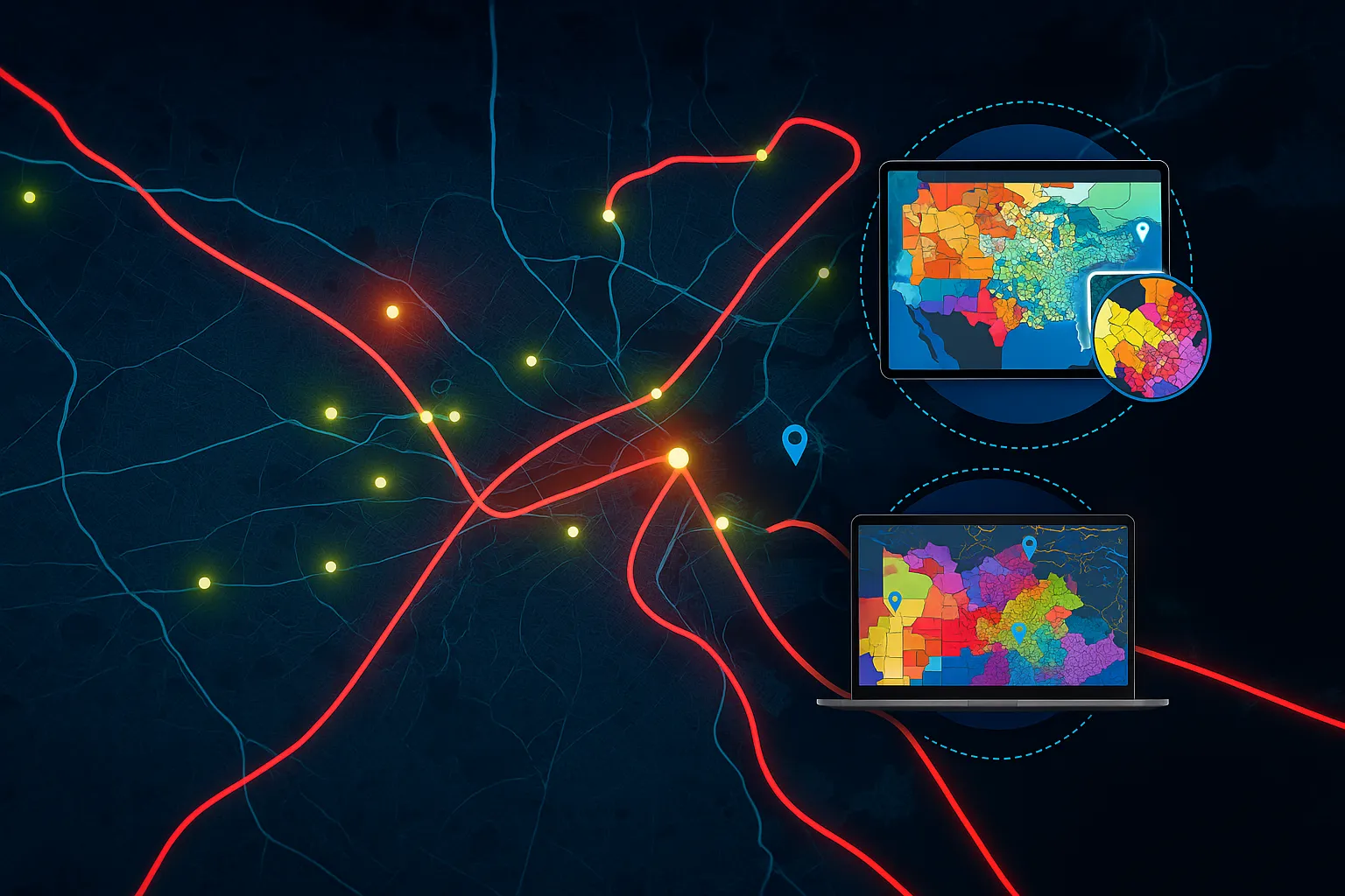
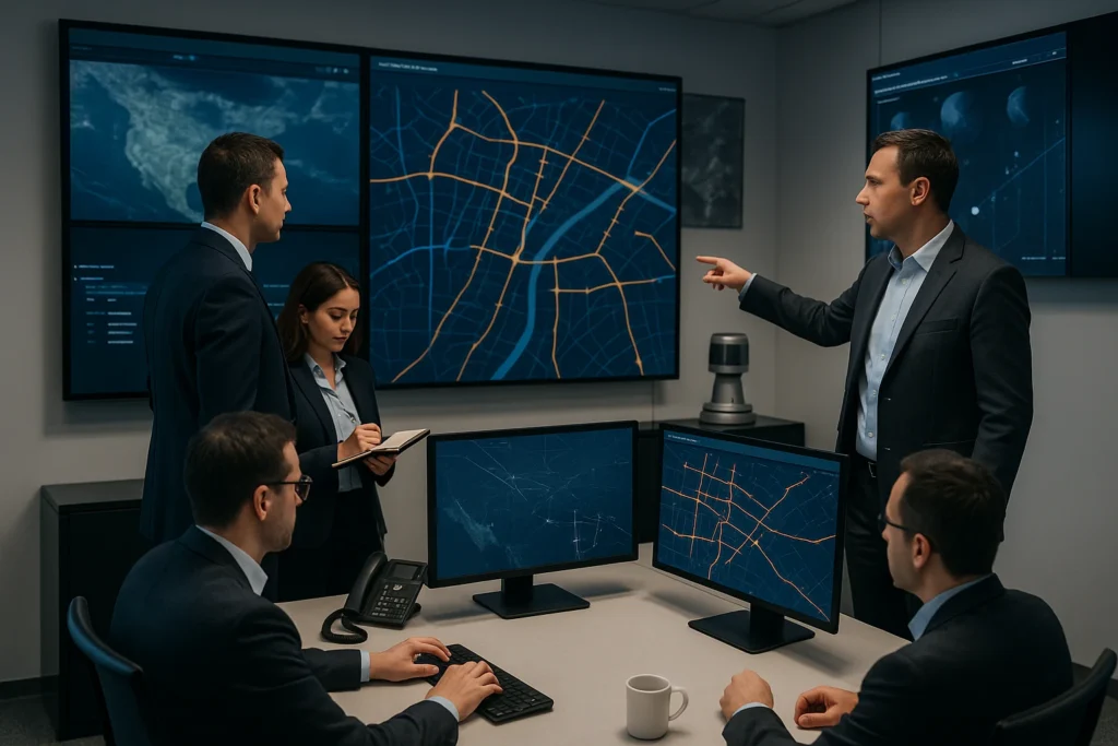
Optimize Operations and Drive Growth with Advanced GIS services and Location Intelligence
Our GIS solutions equip you with powerful tools and insights to harness location data tailored to your industry specific use cases, enabling optimized operations, strategic planning and strategic growth.
Our services include mapping, collection, storing, processing, interpreting and analyzing geographic and imagery data. Leveraging our extensive domain expertise, we deliver customized GIS solutions that precisely align with your needs. Our GIS experts excel in handling diverse data sources, including coarse imagery, aerial photography, and satellite imagery, to power a wide spectrum of geographical information applications tailored to your industry.
Our advanced GIS toolkit, featuring distributed processing techniques and efficient batch operations, enables us to handle vast volumes of geospatial data quickly and cost-effectively.
Digital Photogrammetry
Elevate your geo-spatial data with our Digital Photogrammetry Solutions.
From aerial, satellite, and drone imagery, we generate high-quality digital terrain models, elevation models, surface models, and 3D reconstructions tailored to your unique needs.
Serving a diverse range of industries, our team of experts leverages the latest photogrammetry techniques to deliver custom solutions that exceed your expectations. Whether you require data for engineering design, natural resource management, environmental monitoring, or hydrographic surveys, we have you covered.
Read more
The following services are provided by us:
- Aerial Triangulation ( Satellite, Aerial and Drone )
- 3D Planimetric & Feature extraction
- DTM/DSM and DEM Generation
- Contour Generation
- Topographic Mapping
- 3-D Feature Extraction/Elevations
- Drone – UAV data processing
- Change Detection
- Volume Calculation
Digital Photogrammetry
Read more
The following services are provided by us:
- Aerial Triangulation ( Satellite, Aerial and Drone )
- 3D Planimetric & Feature extraction
- DTM/DSM and DEM Generation
- Contour Generation
- Topographic Mapping
- 3-D Feature Extraction/Elevations
- Drone – UAV data processing
- Change Detection
- Volume Calculation
LiDAR ( Light Detection and Ranging ) Services
Harness the power of laser-based technology to deliver accurate, high-resolution 3D data that captures the world as it truly exists – down to the smallest details.
Whether you’re mapping power lines, roads, railways, or entire urban landscapes, our LiDAR solutions deliver precise, high-resolution data that help you overcome the limitations of traditional photogrammetry. Unlock a new level of clarity and insight with accurate x-y-z coordinates and detailed intensity reflectance information.
Adaptable to any environment, our LiDAR data acquisition, mapping, and processing capabilities ensure you receive the most reliable and up-to-date information. Trust our team of experts to transform your infrastructure projects, optimizing efficiency, safety, and strategic decision-making.
Read more
The following Lidar services are provided by us:
- Bare Earth & Advanced point cloud classifications (buildings, bridges, vegetation etc.)
- Power Line classification and mapping
- Geiger Mode (GML) point cloud classification
- Bathymetry Classification
- Mobile mapping
- Break line extraction
- Contour Generation
- 3D modeling and Volumetric calculation
Elevate your infrastructure projects to new heights with our state-of-the-art LiDAR services.
Ortho Photo
Unlock the power of true-to-life aerial photography with our industry-leading orthophoto services. Our advanced processing techniques eliminate the distortions caused by camera tilt, terrain variation, and lens imperfections, delivering georeferenced aerial images that accurately represent the world below.
Whether you’re mapping land use, monitoring infrastructure, or analyzing environmental changes, our services provide a reliable, geometrically-corrected foundation for all your needs. Forget about scale errors and warped perspectives – our orthophotos faithfully capture the ground as it is, empowering you to make better-informed decisions with confidence.
Read more
Experience the difference that precision aerial imagery can make.
The following Ortho services are provided by us:
- Orthomosaic generation
- Ortho rectification and Orthophoto interpretation
- Seamline editing
- Block adjustment and Tile cutting
- Quality assurance and quality control.
- True Ortho
GIS
Unlock the full potential of the data using GIS technology.
We leverage cutting-edge GIS technology to transform raw data into precise and visually compelling 2D and 3D representations. Whether you’re managing a construction project, navigating complex utilities, or conducting environmental assessments, our tailored mapping solutions provide the clarity and accuracy you need to make informed decisions.
Read more
The following GIS Mapping services are provided by us
- 2D building modeling
- 2D features extraction
- 3D visualization & analysis
- Data Integration and management
- Land Base Mapping
- Rail/Road corridor Mapping
- Forest / Agriculture / Hydro Mapping
- Utility Mapping (Electricity/ Wastewater/ Telecommunication/ Oil & Gas)
- Cadastral mapping
- Paper Map to Georeferenced Vector
WHOM WE SERVE
We help organizations across diverse sectors with their GIS requirements. Our specialized tools and services help organizations manage their assets better, optimize operations and investments, and plan for the future.
Agriculture
Oil & Gas
Mining
Forestry
Infrastructure-Roads-Railways
Transform your projects with expert GIS Services
Our team of experts deliver cutting-edge geospatial solutions including collection, management, and analysis of data. We are dedicated to help meet your objectives and lay the ground-work to visualize change, predict the future and be more resilient leveraging a robust blend of tools, and latest AI/ML technologies.
Delivery Excellence
Our GIS delivery excellence is built on a foundation of rigorous quality control processes and industry-best practices. We consistently exceed client expectations by delivering on time and within budget
Agile and Cost-Effective
Our agile approach to serivce delivery enables us to rapidly respond to changing project requirements, ensuring that our clients receive timely deliverables in a cost effective manner.
Next-Gen Technologies
We leverage next-gen technologies like AI, ML, and cloud computing to deliver cutting-edge GIS services. Our innovative approach enables faster, more accurate, and cost-effective geospatial solutions
Let’s Get To Work
challenges.
Join Our Team
companies.
Let’s Get To Work
challenges.